View a static map of all stops and routes in the city. You can also view the entire RTD System Map for all routes in Boulder, Denver and surrounding cities.
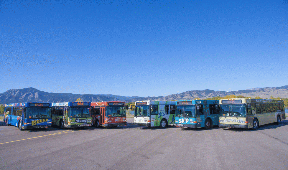
The Regional Transportation District (RTD) owns and operates a majority of Boulder's Community Transit Network, while Via Mobility Services operates the HOP route. The City of Boulder collaborates with both RTD and Via to plan and fund Boulder's local bus service.
The City of Boulder's vision for transit services focuses on developing and enhancing a complete transit system – a network of high-quality, frequent and convenient transit routes that connect local destinations and neighborhoods and regional destinations.
View a static map of all stops and routes in the city. You can also view the entire RTD System Map for all routes in Boulder, Denver and surrounding cities.
RTD Next Ride can help you find real-time information for bus and rail service, including stops, routes, arrival time predictions and bus location tracking.
RTD Next Ride has a built-in trip planner that can help you get to your destination.
View RTD Park-n-Ride information for things to consider before you park your car and hop on board RTD transit.
Learn how to take your bike for a ride on RTD services. View a map of Boulder County Bike-n-Ride Shelters and sign up for an access card with Boulder County.
You can also get to bus stations in Boulder with BCycle e-bikes or Lime e-scooters.
The University of Colorado offers multiple transit options for students traveling to, from, within and between campus activity centers including: the Buff Bus and Late Night Transit routes.
Paratransit services are on-demand, door-to-door transportation options that serve limited mobility riders who would have difficulty accessing and using standard bus service. Via Mobility Services and RTD both have paratransit options available to riders in Boulder.
Several City of Boulder Open Space and Mountain Parks (OSMP) Trailheads are accessible by bus. All OSMP Trailheads and many access points also have bike racks.
| TRAIL | ROUTE | NEAREST BUS STOP / DIRECTIONS |
|---|---|---|
| Bobolink | 225 | Cherryvale and Baseline. Bus stop is across Baseline from the trailhead. |
| Chautauqua | Seasonal Park to Park Shuttle | Free Park-to-Park Shuttle. Multiple stops downtown and on University Hill. Operates during summer months only. |
| Cherryvale | DASH | Cherryvale and South Boulder Road ¼ mile walk or bike ride to trailhead. Trail is directly across road from bus stop. |
| Cottonwood | 205 | 205 bus stop at north end of Cottonwood Trail on Jay Road. |
| Dry Creek | 225 | Bus stop on Baseline between Cherryvale and 75th Street. Bus stop right by the trailhead or across Baseline from trailhead. |
| Foothills Nature Center & Wonderland Lake | SKIP | Bus stop at Broadway and Sumac (4201 N. Broadway) at trailhead or across Broadway from trailhead. |
| Fourmile Creek | SKIP 204 | SKIP and 204 both go to bus stop at Broadway and Lee Hill, walk or bike 0.3 mile west on Lee Hill to trailhead. |
| Joder Ranch | Y | Y bus stop at Joder Ranch Trailhead on US 36 from Lyons. |
| Shanahan Ridge | SKIP | Bus stop at Hardscrabble Lane and Lehigh across Lehigh from trail access. |
| Mount Sanitas | SKIP 208 Y | Bus stop at Broadway and Mapleton with a nine-block walk or bike ride west on Mapleton to trailhead. The SKIP, 208 and Y routes all stop at Broadway and Mapleton. |
| The Peoples' Crossing | 205 N | Bus stop on Canyon right before junction with Pearl, walk about one block west to trailhead. |
| Teller Farm, South | JUMP | Bus stops along Arapahoe Road at the entry to the short gravel access road that leads directly to the trailhead. |
| Viewpoint | 205 | Bus stop on Canyon right before junction with Pearl, cross Canyon to Ebin G. Fine Park and Viewpoint trail. |
You can also access nearby Boulder County and State of Colorado trails via shuttle, including:
Learn how easy it is to ride the RTD bus.